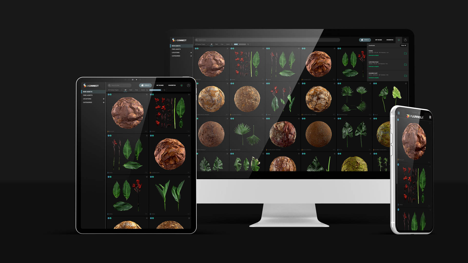


High Quality Scans
8K Max. Resolution
PBR Textures
Totally standardized
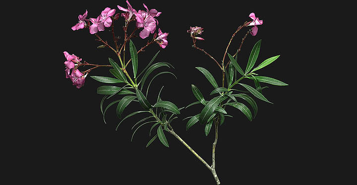
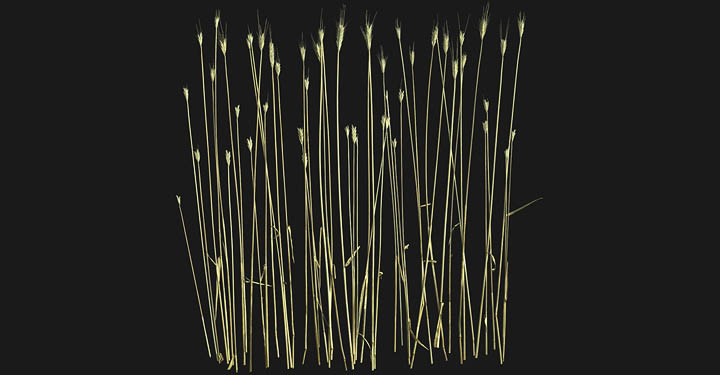
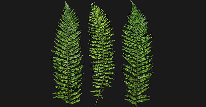
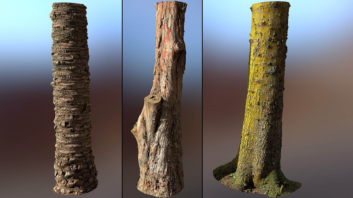
3D Scans
Optimized polygones, UVs and LODs.
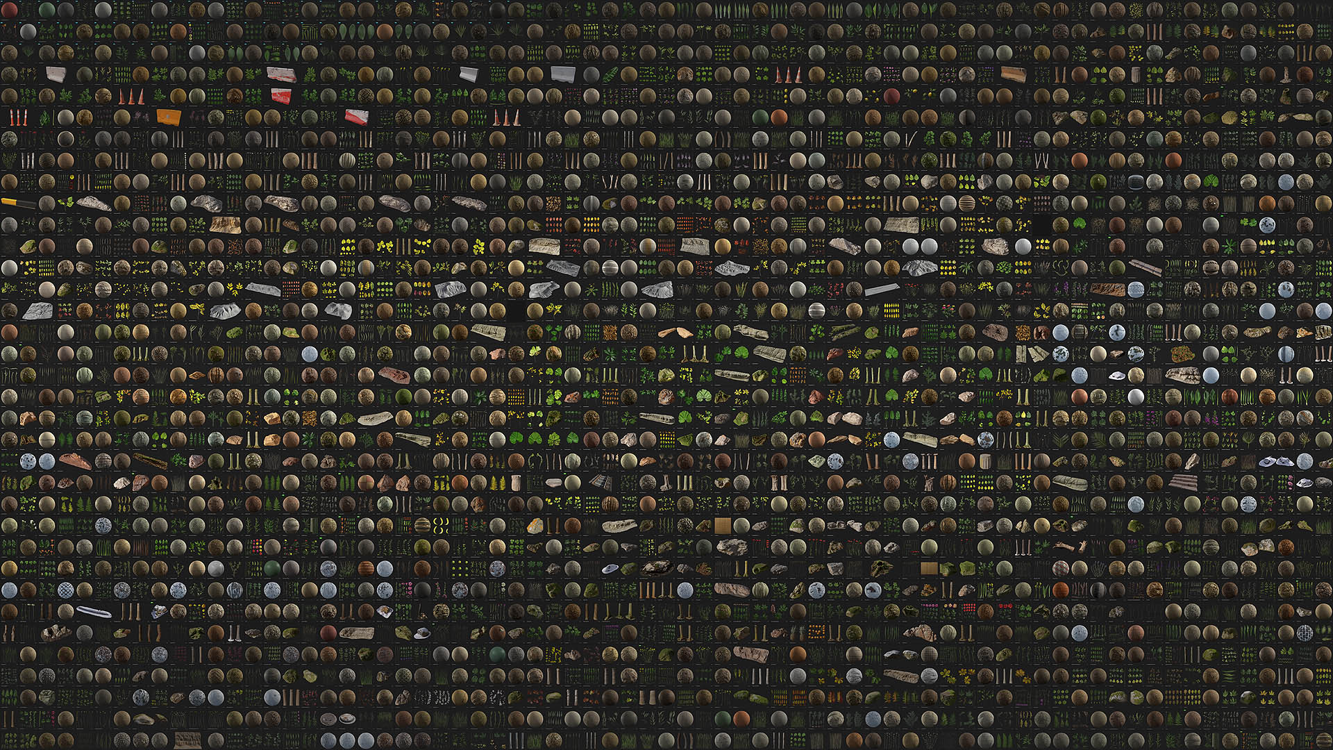
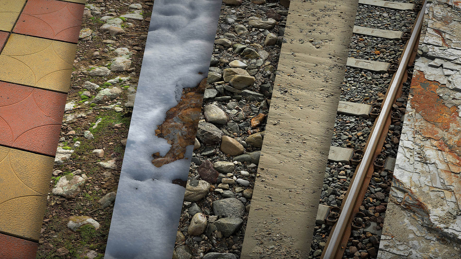
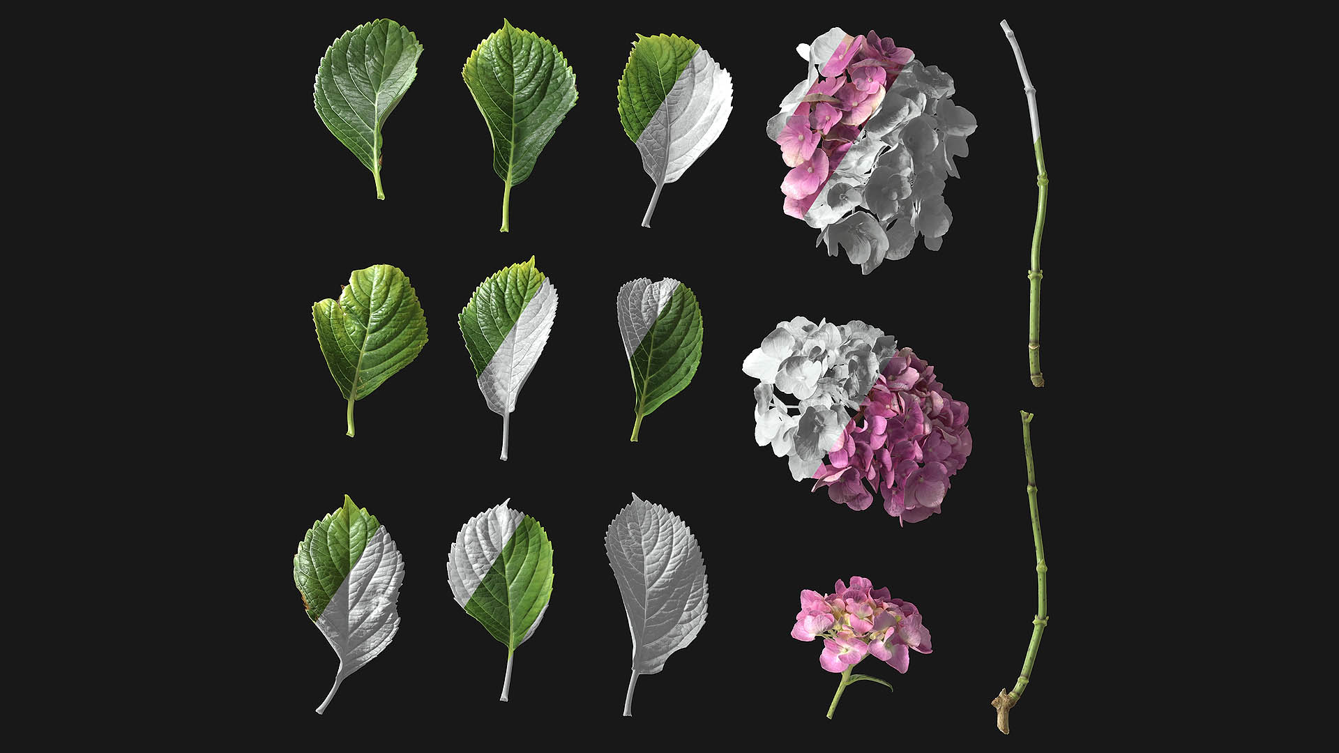
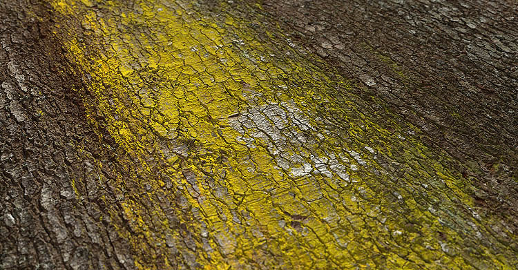
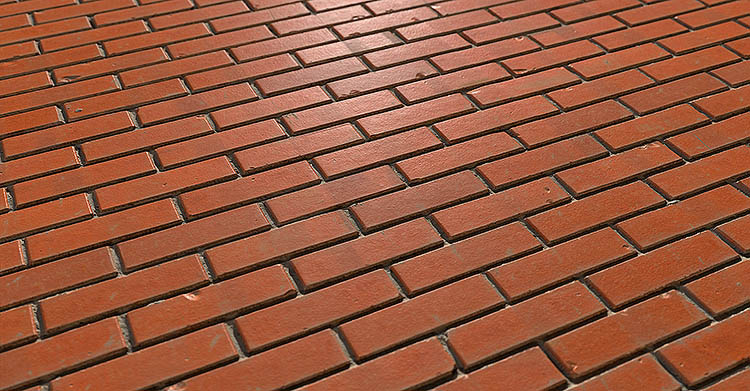
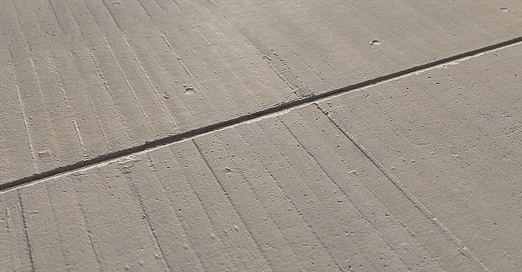
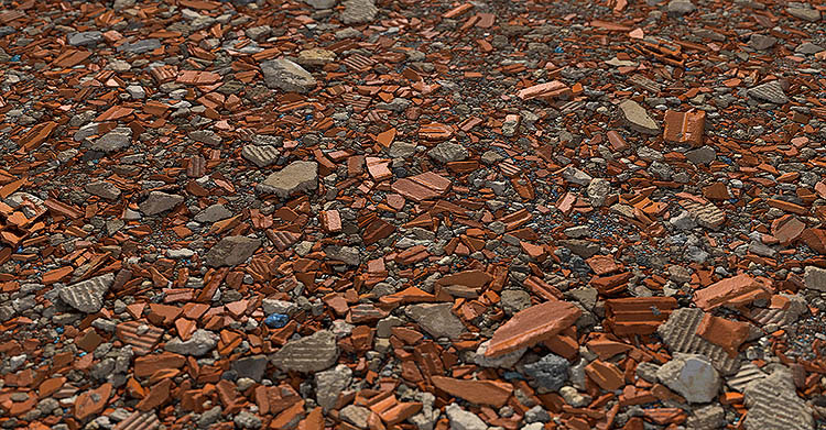
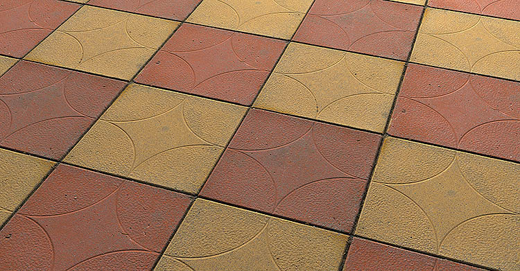
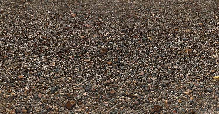
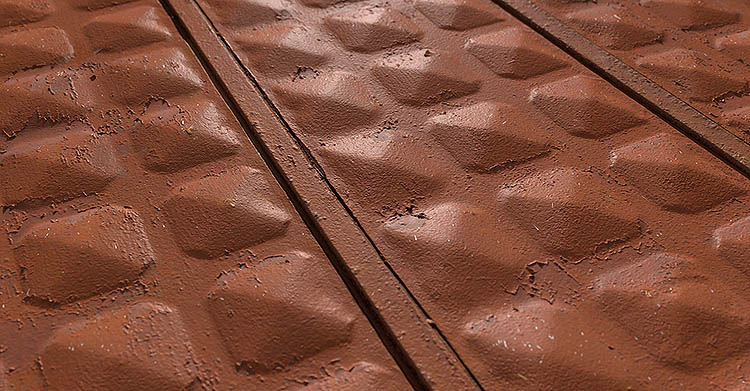
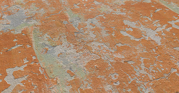
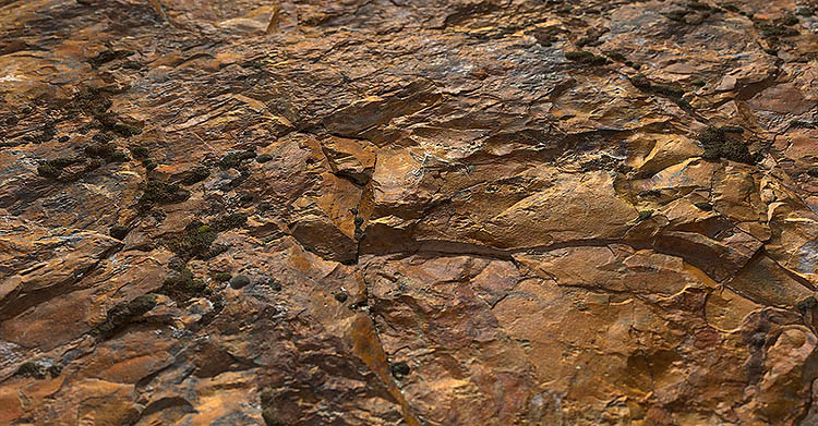
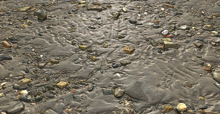
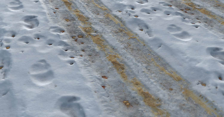
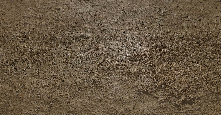
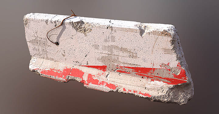
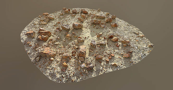
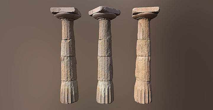
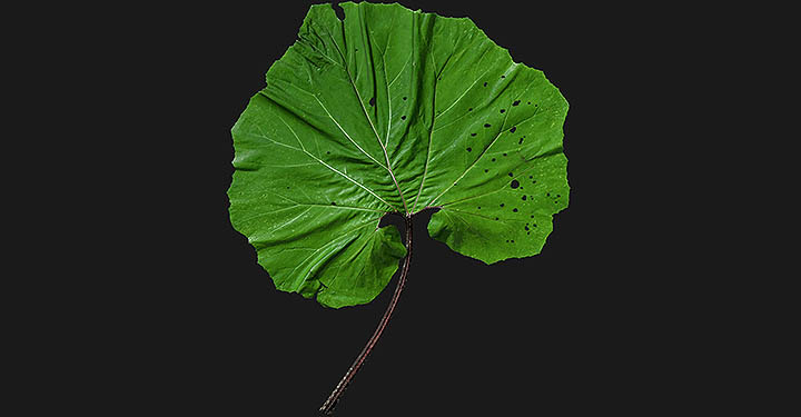
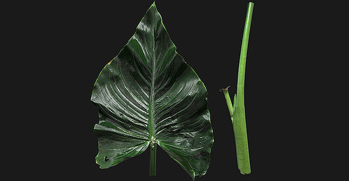
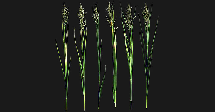
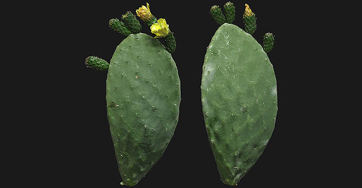
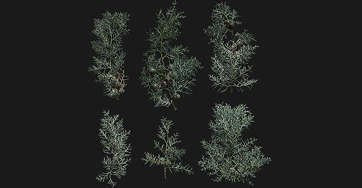
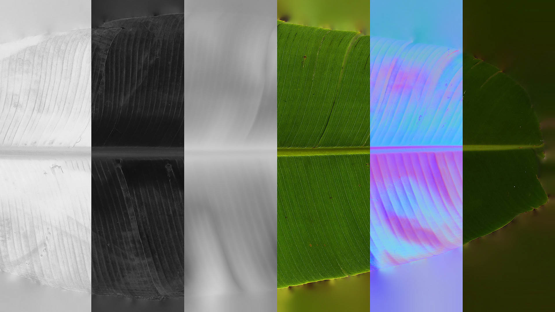
Surface Scans
Surface scans baked over 700 million polygons, maximum resolution of material scans is 8K. RAW Scanning data resolution is less than 2mm. All surfaces have a area of 1m x 1m to 2m x 2m.
VIEW SURFACE SCANS
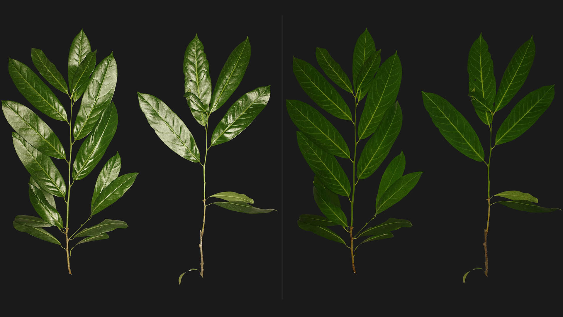
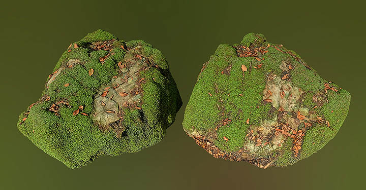
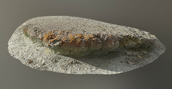
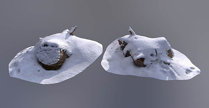
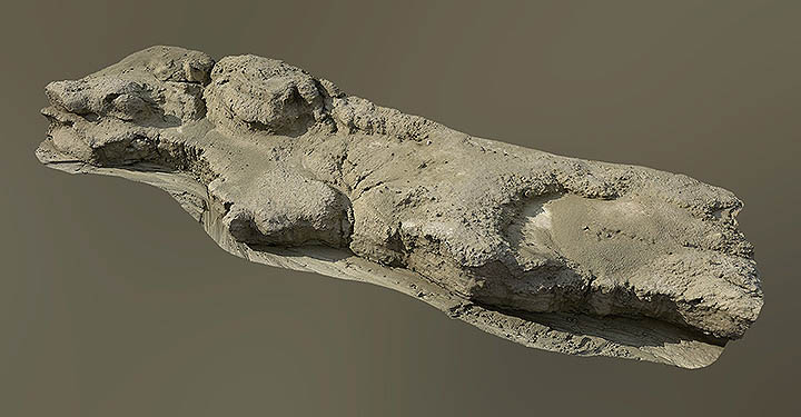
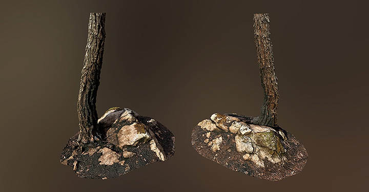
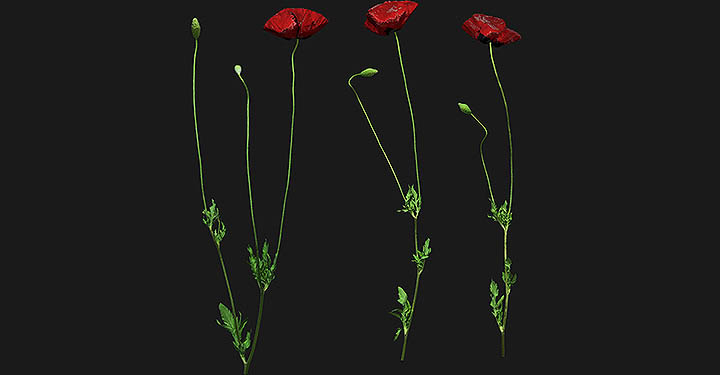
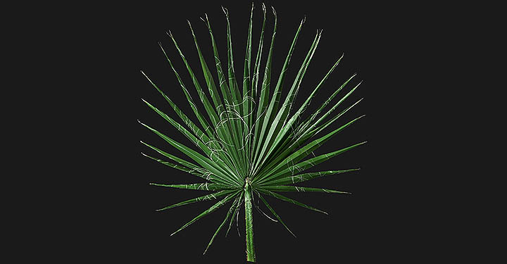
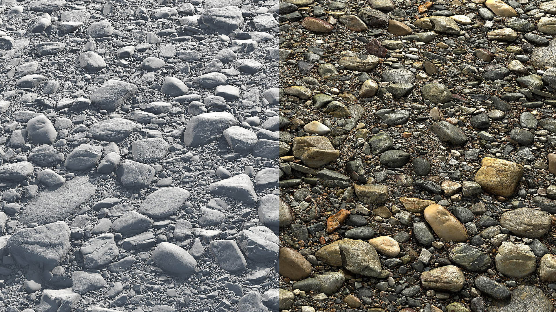
Atlas Scans
Atlases were calculated using 120 different LED light sources. In our Atlas Scanner, we use polarization to eliminate reflections by 99.9%.
VIEW ATLAS SCANS
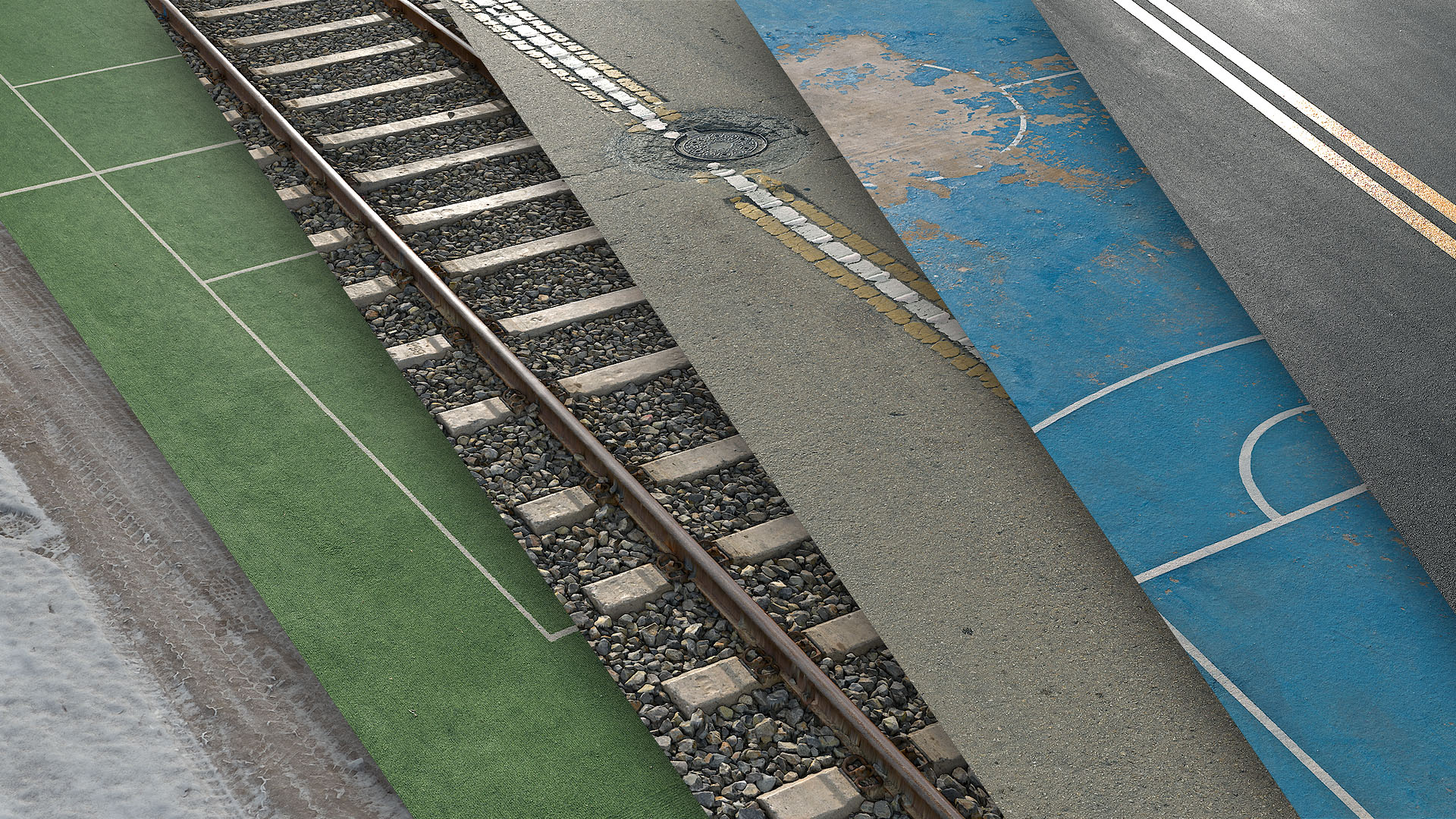
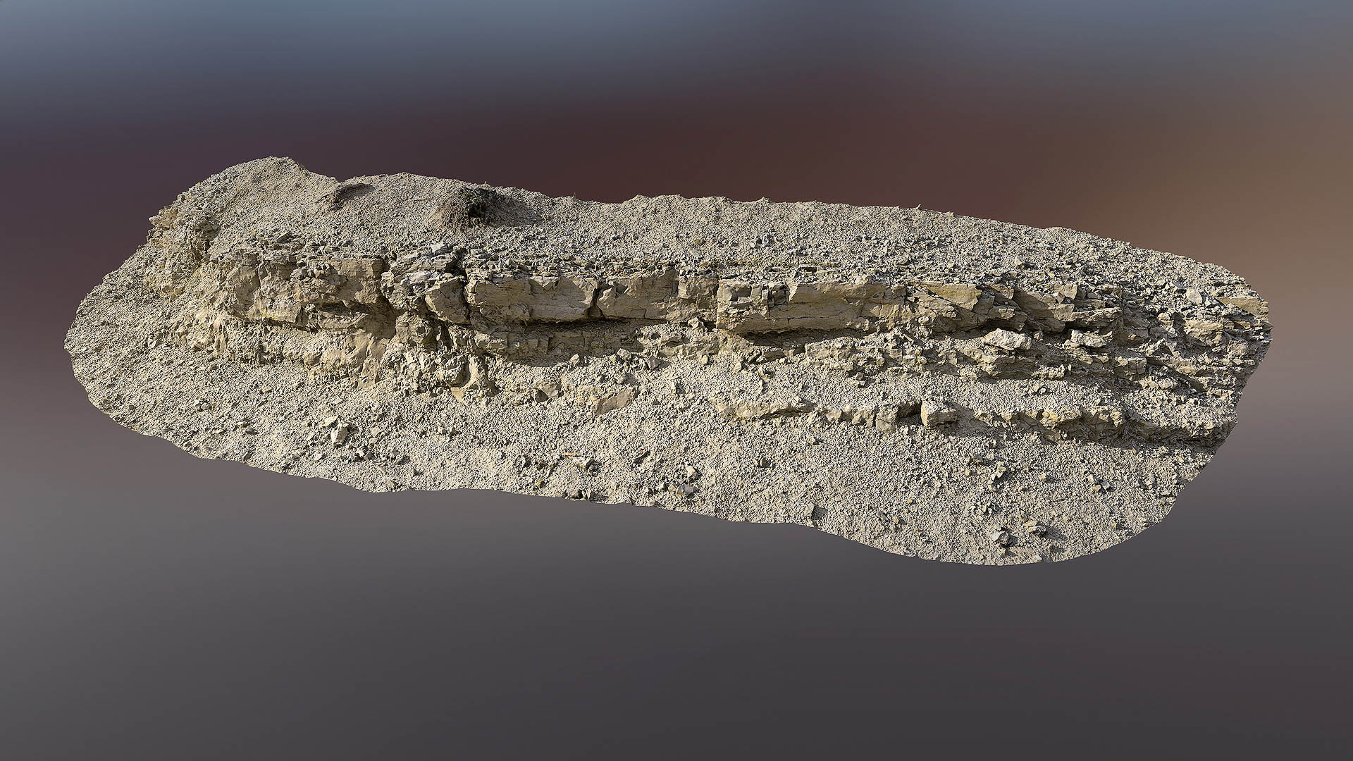
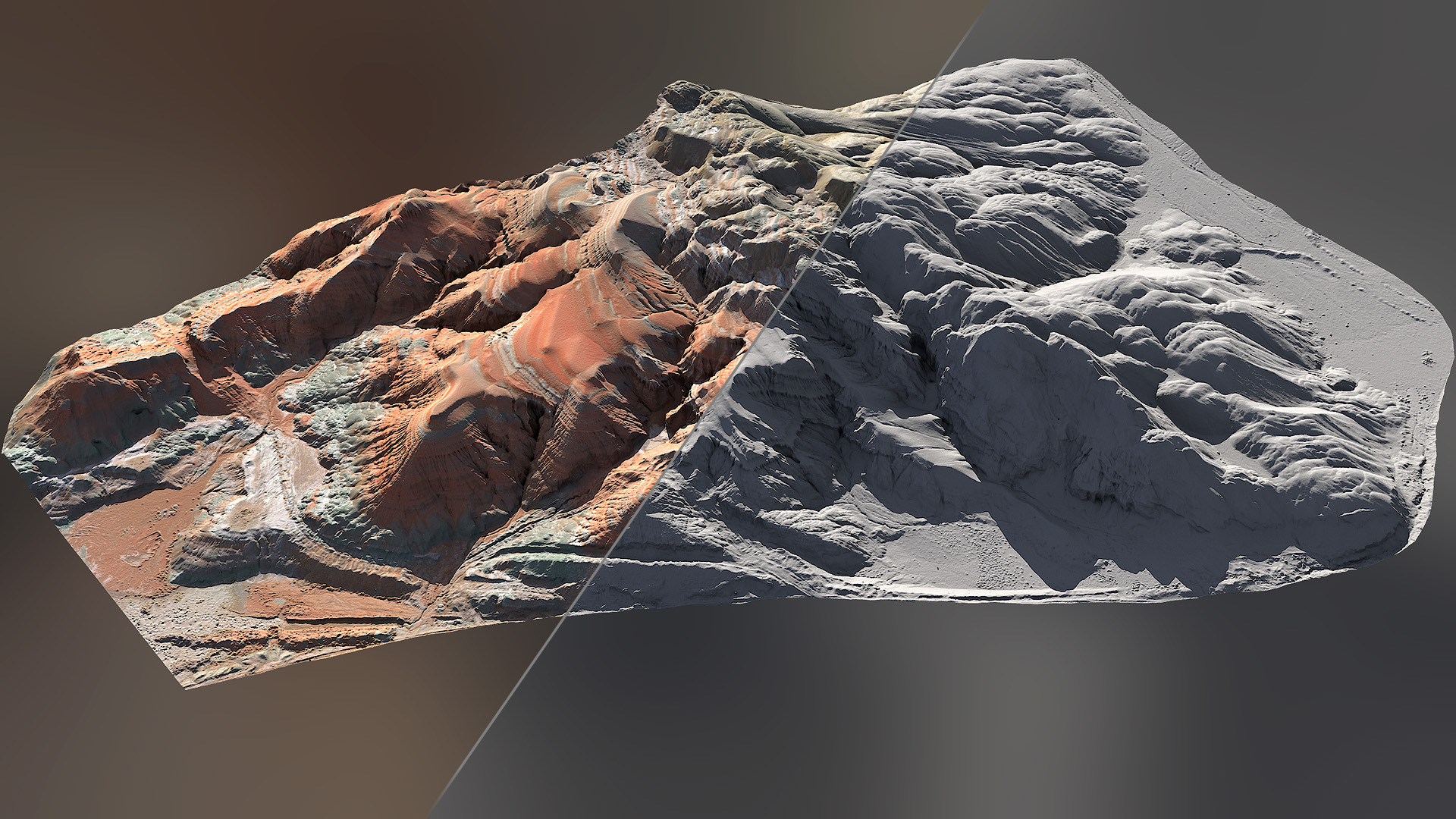
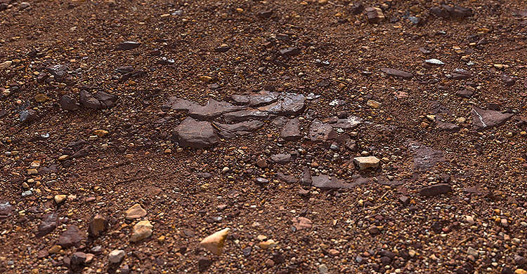
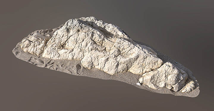
Large Scale Scans
Large Scale Scans are scanned with specially designed Drone. Large Scale Scans have a maximum area of 2km x 2km (4km2).
VIEW LARGE SCALE SCANS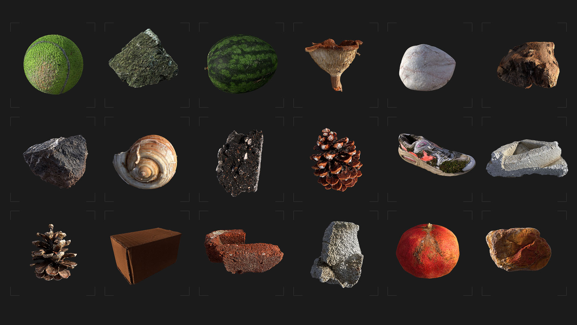
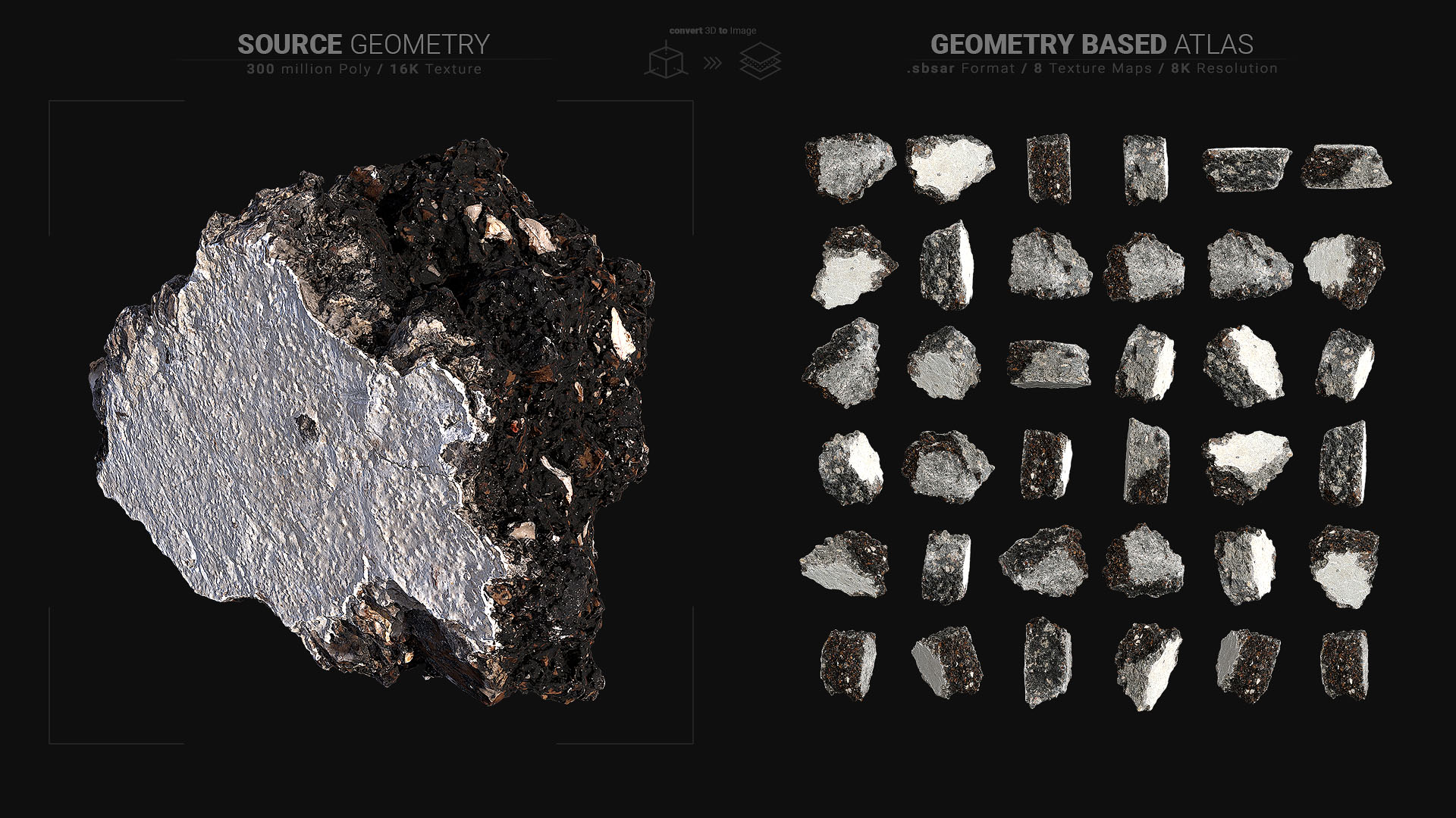
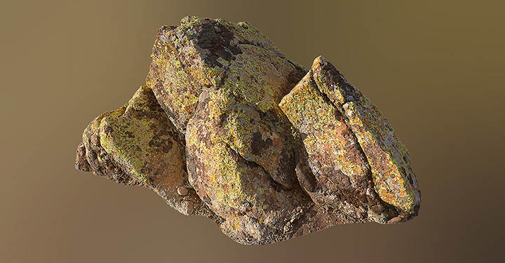
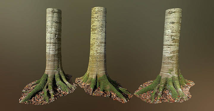
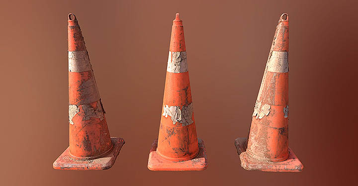
Source Scans
GBA scans are derived from a 3D Model with 300 Million Polygons and 3x 16K Textures. GBA scans have .SBSAR format (for Substance 3D Designer and Sampler), 8K resolution and 8 different maps.
VIEW SOURCE SCANSCompatibility
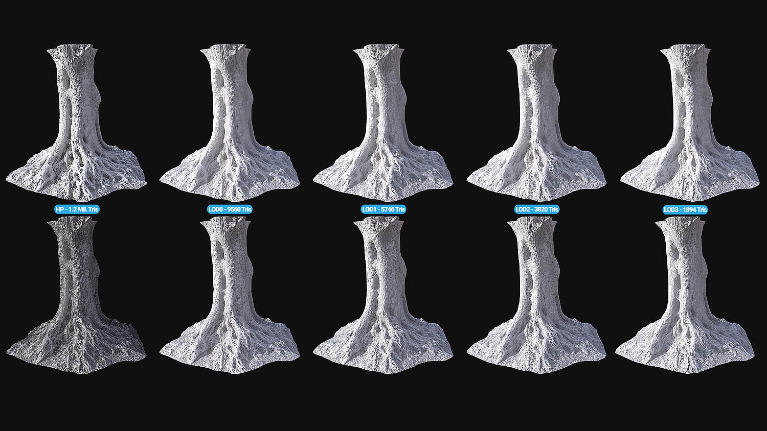
Preparation For End User
3D Assets are scanned according to the world scale and the PBR is calibrate. Each 3D Assets comes with meticulously optimized polygone, UVs and LODs.
VIEW 3D ASSETS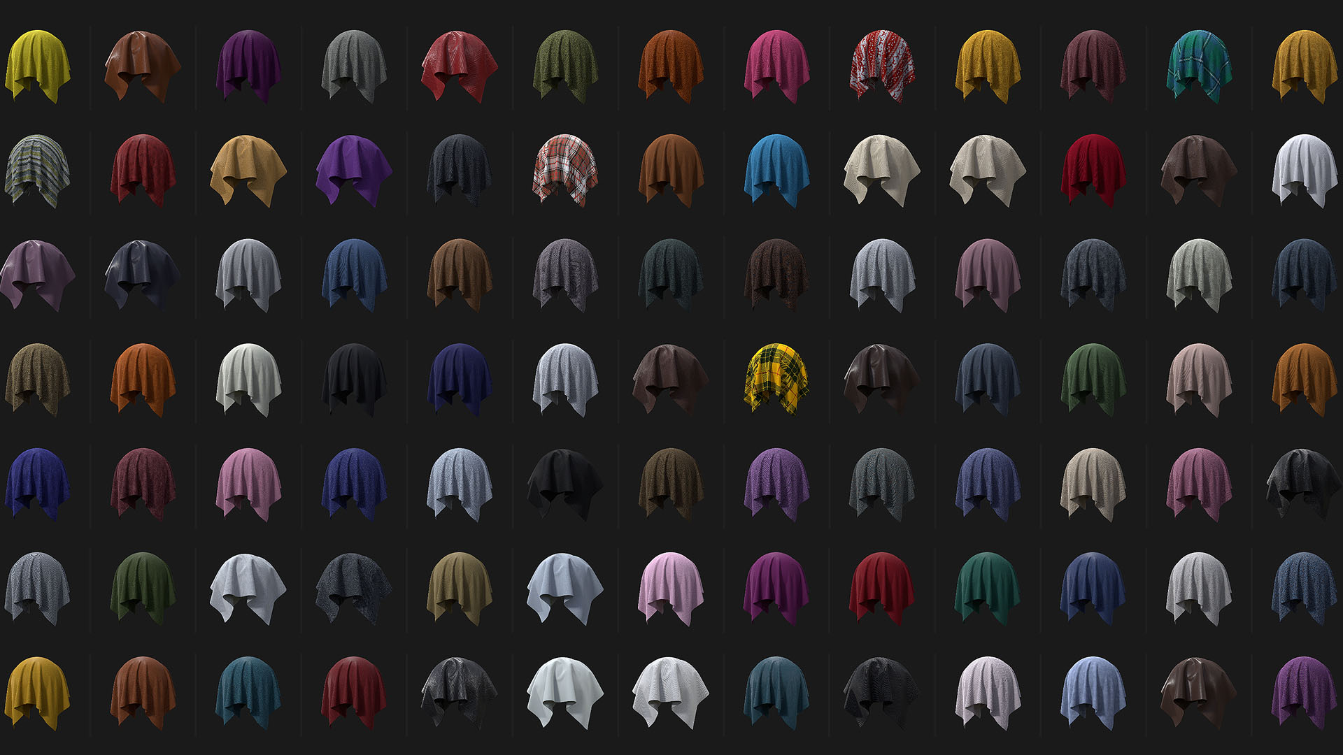
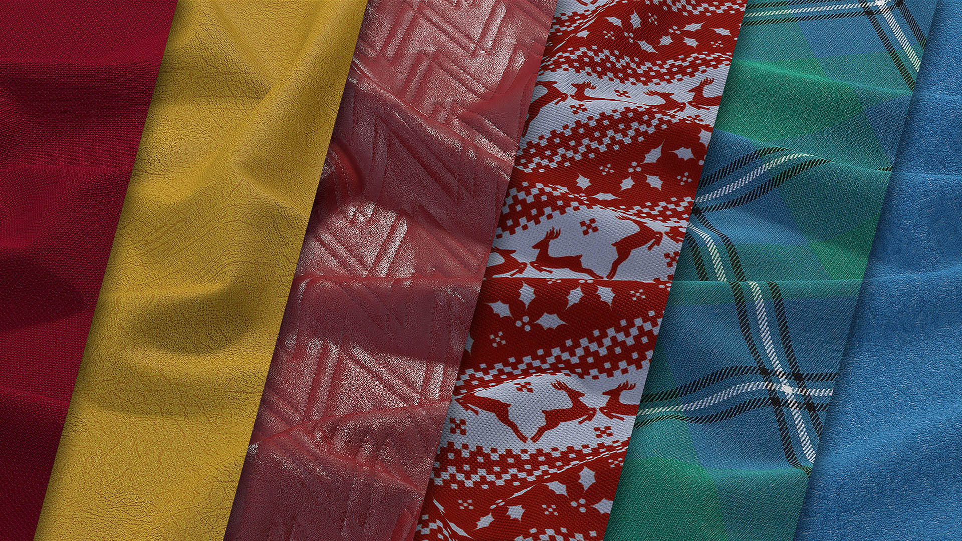
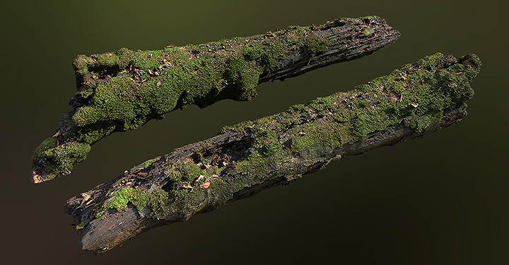
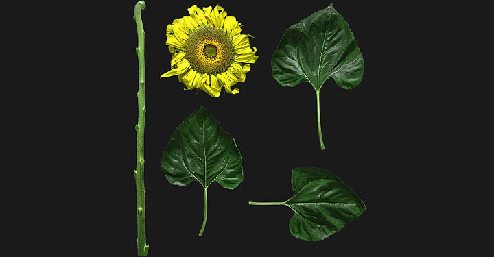
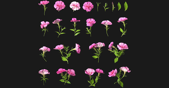
Fabric Scans
We use a cutting-edge ScansLibrary Fabric Scanner to create color-calibrated scans and a seamless material scanning experience for 3D designs.
VIEW FABRIC SCANSWhat are the differences between the types of plans?
- The Personal License is provided for single self-employed individuals (a natural person) doing commercial work generating less than $100,000 per year in annual gross revenue.
- The Indie License is for entities generating less than $1,000,000 per year in annual gross revenue (based on latest available completed fiscal year reporting) and employing a up to 5 seats for members of your team.
- The Business License is for entities generating less than $2,000,000 per year in annual gross revenue (based on latest available completed fiscal year reporting) and employing a up to 10 seats for members of your team.
- The Studio license for Game, VFX, Advertising and Visualization teams with more than $2,000,000 yearly revenue or funds raised. A Studio License is project title specific and a separate Studio License is required for each project.
What are the differences between the monthly and yearly plans?
- Yearly plans offer more value as you get a discounted rate for paying for 12 months up-front. In yearly plans, you will get more credits at the first stage.
Does my subscription automatically renew?
- Subscriptions (Monthly / Yearly) are not renewed automatically. You can use your existing credits until the end of the subscription.
Do the credits roll-over if I have a Subscription? Do they expire?
- If you have an active Subscription, credits in your plans are available during your subscription. Please note that if your Subscription expires, credits are no longer use. It will be blocked until you buy a new plan. You can purchase credit on demand for the duration of your subscription. You can use these credits during your subscription.
Can I use Free Assets commercially?
- Access to Free Assets is intended for testing ScansLibrary assets and its integration. As such, they are not to be used commercially on any trial account. However, if you have an active ScansLibrary subscription (Personal license, Indie license, Business License, Studio Licenses), feel free to use even these Free Assets commercially.
How often are new scans added?
- New scans are released on a weekly basis, and new entire locations and scan categories are released every season.
Can I import the assets into a "CUSTOM" scene and sell in Stores? (TurboSquid, UnrealEngine Marketplace, Unity Asset Store etc.)
- Unfortunately no, this is considered redistribution as both textures and models will be included in the distribution of the sample scene.
Can I import the assets into a "CUSTOM" scene and sell in Stores? (TurboSquid, UnrealEngine Marketplace, Unity Asset Store etc.)
- Unfortunately no, this is considered redistribution as both textures and models will be included in the distribution of the sample scene.
Is the data consistent across the library?
- Yes, all surfaces are calibrated consistently across the entire library and adhere to a consistent texel density, and all geometry follows the exact same standard for LOD steps, topology, UV mapping, baking and consistent mesh scale.
Which map resolutions are supported?
- The highest resolution available is 8K. All 3D scans support 8K maps, and the max resolution for surfaces range between 4K-8K depending on surface area (1 x 1 m / 2 x 2 m / 3 x 3 m). Vegetation atlases have a max resolution of 4K due to the smaller size of the scan subjects.
Can I use the assets in a commercial video game?
- Yes, provided the game does NOT have an Open Source License and the assets are purchased while on the Personal license, Indie license, Business license, Studio license or with On-demand credits from a credit pack. If the assets can be accessed or extracted from your game package, then you must include a text license containing the words “Contains assets from ScansLibrary.com - Assets may not be redistributed”.
Can I use the assets in a freely distributed game mod, game map or game add-on?
- Yes, provided the game does NOT have an Open Source License. If the assets can be accessed or extracted from your game package, then you must include a text license containing the words “Contains assets from ScansLibrary.com - assets may not be redistributed”.
Can I embed the textures in a model and make it available under the Creative Commons license?
- Unfortunately not. The creative commons license is incompatible with our site. You can, however, provide links in your project files (ex. .max) for the textures needed for your blend. This will enable users to download it themselves.
Can I use texture(s) in a shader, and then sell the shader?
- No. This is considered as a resale. This includes real-time materials sold through the Unreal Marketplace and Unity Marketplace.
Can I modify the assets and sell them as my own?
- No. The amount of modification is too hard to specify, and allowing this will invite abuse. Therefore any selling of textures, even if modified, is forbidden.
Can I buy On-demand credit packs?
- Yes, you can purchase On-demand credit packs. In addition to subscription credits, you can purchase an unlimited number of credit packages.
What are the credits for?
- Credits are used for purchasing ScansLibrary assets, such as Atlasses, Materials, 3d Models, Landscapes and For Games Models. When you purchase an asset, you will be able to download all of the individual files included (such as a Albedo, Normal, Specular, AO etc. for a material). Our assets cost 1 to 30 credits each, depending on the type.
Can I redownload textures or assets without spending credits again? Where can I find them?
- Yes! After you purchase a texture or asset, they are considered an "Acquired Asset". You can redownload acquired assets, in any of the available formats available for that asset, for as many times as you like! You can find it in the section "MY SCANS".
Which credit cards are accepted?
- Visa, Mastercard and American Express are accepted.
- Dynamic 3DS system allows you to give our customers a flawless experience by simply redirecting only the risky payments to 3DS verification process thanks to AI, meanwhile low risk payments are completed in miliseconds.
- Buyer Protection is your safe guard for a seamless shopping experience. "Will my credit card be copied?" "Is this website safe?". No need to worry about these any more. With PCI-DSS Level 1 certificate and our in-house AI based fraud system, your card information is always safe with us. This is why Buyer Protection is the new safety net of online shopping!
What is Dynamic 3DS System?
Buyer Protection Keep You Safe?